Search This Blog

Wednesday, December 8, 2010

Light Identified - Finally - Roberts Bank, British Columbia


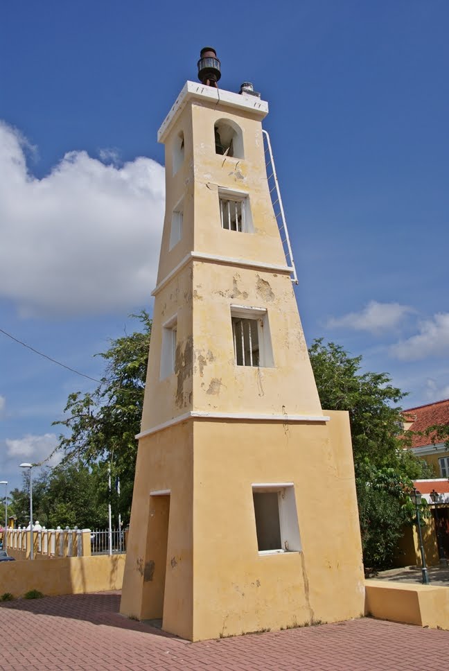
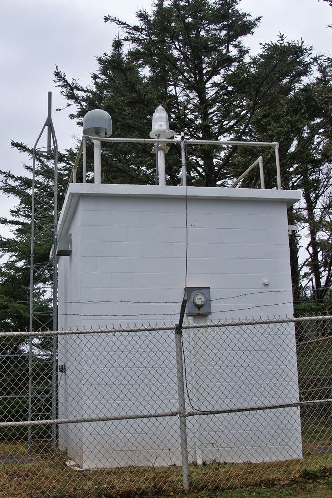
I have finally been able to identify the light that I had previously dubbed "Sand Heads II". It is actually the Roberts Bank RACON (Radar Beacon) and is located in the Strait of Georgia at Latitude 49.087 and Longitude 123.308. It is accessible by boat and is found Southwest of the Sand Heads Light. The original post can be found here.

Monday, November 15, 2010

Kralendijk Lighthouse, Kralendijk, Bonaire


The Kralendijk Lighthouse was established in 1932. The light sits in the Plasa Reina Wilhelmina which is adjacent to the harbour in the city of Kralendijk, the capital of Bonaire. It is directly beside the cruise ship terminal. The light is fairly well maintained. Photos taken in November 2010.

Punt Vierkant Lighthouse, Bonaire


This small lighthouse is found on the West coast of the island of Bonaire, South of the Flamingo International Airport which is just South of the island's capital city of Kralendijk. The light is adjacent to a small beach in front of the Lighthouse Beach Resort complex. It is not known when the light was established, but it serves as a navigational aid for the South West entrance to the Kralendijk harbour. Photos taken in November 2010 and again, thanks to my cab driver Cecil who was able to easily get me close to this light.

Willems Toren Lighthouse, Bonaire


The Willems Toren Lighthouse (also known as Lacre Punt Light) is located at the Southern tip of the island of Bonaire. It is south of the three sets of slave huts and the salt production facilities on the Southern part of the island. The lighthouse was established in 1837 and is well maintained. The nearby remains of the stone walled keepers house (in the left side bottom photo) are not in as good condition. The area is quite beautiful in its desolation. I visited and photographed the light in November 2010 and had the good fortune to be driven there by a very friendly cab driver (Cecil - Taxi #3) who had a wealth of knowledge about the island and its history.

Willem III Tower, Oranjestad, Aruba


Located in the downtown area of Oranjestad, Aruba's capital city, the Willem III Tower is now the home of the Historical Museum of Aruba. It sits approximately one block from the waterfront and formerly displayed a navigational light at its top. The building is beautifully maintained and worth a visit. The tower itself was built in 1796. Photos taken in November 2010.

California Lighthouse (Noordwest Punt), Aruba


Located at the North West tip of the island of Aruba atop Hudishibana Hill, the Noordwest Punt Light, commonly known as the California Lighthouse was established in 1916. The light gets its name from the British ship, the California, that sank off the point in 1891 and was the reason for constructing a light at that site. Today, the former keeper's house which is adjacent to the light is a restaurant (La Trattoria El Faro Blanco). Photos were taken in November 2010.

Faro de San Juan, San Juan, Puerto Rico


The San Juan Lighthouse (Faro de San Juan) is located within the walls of the El Morro fortress which sits on a high point overlooking the East Side of the entrance to the harbour at San Juan, Puerto Rico. It is a short walk from the Old San Juan area. There was a light station first established at this site in 1846, making it the olders in Puerto Rico. The current light is from 1908. The light is well maintained and tours are available if you arrive at the fort at the right time and sign up (unfortunately I missed it as the tour was full when I was at the fort). My photos were taken in November 2010 and the top photo depicts the location of the light in relation to the fortress overall.

Fort George Light, St. George's, Grenada


This light was built in the 1890's on one of the corners of Fort George which sits atop a hill overlooking Grenada's capital city, St. George's on the South West coast of the island. Unfortunately when I visited and photographed the light in November 2010, it was in a state of disrepair. The lantern has been removed and the building is in poor condition, as is much of the fort. It is a shame, because the fort and the light are a tourist attraction and should be much better maintained. The building adjacent to the light inside the fort is a gym used by the local police.

Monday, October 11, 2010

Tallinnamadala Lighthouse, Tallinn, Estonia


This lighthouse sit in the Gulf of Finland on the Tallinn Shoal approximately 20 miles Northeast of the city of Tallinn, Estonia. It was established in 1969 and replaced a bouy that was at that point from 1950 onward. Prior to 1950 a lightship had been stationed at the shoal. Construction took 9 years due to stormy seas. This very distant view was taken in June 2009.

Dunnet Head Lighthouse, Scotland


The Dunnet Head Lighthouse is located at the most Northerly point of mainland Scotland. It was built in 1831 by Robert Stevenson and was automated in 1989. The point of land on which the lighhouse is situated is also known as Easter Head. The photo of this beautiful 20 metre tower were taken from a distance in May 2009, however I only recently properly identified the light.

Monday, October 4, 2010

Port Colborne Inner Lighthouse, Port Colborne, Ontario


This light is located on the North East end of one of the two breakwalls adjacent to Sugarloaf Bay (formerly Gravelly Bay) on Lake Erie in Port Colborne, Ontario. It marks the South entrance to the Welland Canal, which joins Lake Erie and Lake Ontario. It was established in 1903 and is active. The proximity to the Port Colborne Outer Light is shown in the top photo. The photos were taken in October 2010 (both distant views). As I grew up in Port Colborne (many years ago), I am sad to report that although I spent many hours fishing near these lights, I never once took a photograph way back when. I hope to get back in the not too distant future and get out by boat and take better photos of both lights.

Port Credit Inner Channel Lighthouse, Port Credit, Ontario


This new light was built in the 1990's and is located on the Credit River adjacent to Lakeshore Blvd. in old Port Credit (now part of the Municipality of Mississauga, Ontario). It is near the Port Credit Village Marina a short way up the river from Lake Ontario. It is not believed to be an official light. There is a lighthouse themed mural on the wall beside the light. Photos taken in October 2010.

Queen's Wharf Lighthouse, Toronto, Ontario


This inactive light is located between Fleet Street and Lakeshore Blvd., just West of Bathurst St. in Toronto, Ontario. The following is inscribed on the plaque affixed to the lighthouse and gives a history of the light. "Queen's Wharf Lighthouse - This lighthouse, built in 1861, stood on Queen's Wharf 450 metres to the East, near the original foot of Bathurst Street, and marked the only navigable entrance to Toronto Harbour. At the time, it supported a fog bell and a red lantern which, when aligned with a white range light, indicated the approach to the harbour. In service until 1911, it became redundant when a new Western channel was established. The lighthouse was moved to this site in 1929. - Toronto Historical Board 1978". Photos taken in October 2010.

Tuesday, September 21, 2010

Yaquina Bay Light - Revisited


As with Yaquina Head, I stopped at the Yaquina Bay Lighthouse to take a few more photos on a recent trip to the Newport, Oregon area. Once again, I got there too late and the lighthouse was closed for visits, but I did get a few photos to update my previous posting. Photos taken in September 2010.

Yaquina Head Lighthouse, Newport, Oregon - Revisited


It had been a number of years since I visited this light which sits on a windy outcropping of land just North of Newport, Oregon. In my original post, the light is shown in it's previous colours of Red and White, and as you can see from these more recent pictures, the colour is now Black and White. Photos taken in September 2010.

Heceta Head Lighthouse, near Florence, Oregon


In previous trips past this beautiful light, I had not had time to stop and hike up to the lighthouse and had only a photograph of a distant view as in my previous post about it. I had vowed to remedy that oversight and this time, although the weather was not cooperating, I made the short hike up to the site. Here are some photos of the lighthouse and the remaining keepers house (which is a popular B&B - photo on right). My visit included a tour of the lighthouse by a very interesting guide who related the history of not only the light but the origin of the name Heceta Head (after a Spanish Explorer who noted when passing that there was a shallow area of ocean West of the current site of the light). These photographs taken in September 2010.

Lightship Columbia, Astoria, Oregon


The Lightship Columbia (WLV604) is one of the highlights of the Columbia River Maritime Museum at Astoria, Oregon. This lightship was stationed at the Columbia River Station between 1951 and 1979. Photos taken in September 2010.

Cape Meares Lighthouse, Cape Meares, Oregon


This light stands high atop an ocean bluff in Cape Meares State Park on the Three Capes Scenic Loop near Tillamook, Oregon. Construction of the light began in 1888 and it was first lit in 1890. The light was decommissioned in 1963 and replaced by a beacon which is located on a hill just East of the original tower (photo on right). Photos taken in September 2010

Friday, August 27, 2010

Cape Point Lighthouse (New), Cape of Good Hope, South Africa


Built in 1919 to replace the previous light that sits too high, this light is built into the side of a rocky bluff below the old lighthouse. The two photos, taken in August 2010, show the spectacular setting of this light. Unfortunately time did not permit me to take the hike down to the new light when I visited.

Cape Point Lighthouse (Old), Cape of Good Hope, South Africa


The original Cape Point Lighthouse was built on Cape Maclean on the Cape of Good Hope Penninsula in 1860. It was built on the highest point in the area and unfortunately it was built too high as it was often shrouded by low clouds and therefore not useful as an aid to navigation. It was replaced in 1919 by a new light built a short distance away but lower to the water. The ols light is now a popular tourist stop for those visiting the Cape. (Watch out for Baboons when visiting.) The metal plate on the old light (see photo) indicates it was designed in 1857. Photos taken in August 2010.